Patagonia Wedding and Honeymoon
Patagonia is a large region near the southern tip of South America split between Chile and Argentina. It has some of the most spectacular mountains anywhere in the world and is a legendary climbing destination. Yvon Chouinard, the founder of Patagonia clothing, was one of the early American climbers to visit Patagonia.
Our plan was to fly to Patagonia and get married on January 1st and then celebrate our honeymoon there.
On December 26th we flew to Santiago, Chile and then continued on another flight to Punta Arenas where we rented a car. Our original plan was to spend a week in Torres del Paine, the main Patagonia park in Chile, and then drive to the town of El Chalten in Argentina to visit Las Glaciers, the part of Patagonia located in Argentina. Unfortunately because of COVID, the land border between Chile and Argentina was closed to rental cars and we could not get to Argentina. We decided to stay in Torres Del Paine for the entire time.
Lunch after arriving in Santiago. It was a beautiful summer day there.
We hiked up to the top of San Cristobal Hill, which has a statue of the Virgin Mary. The views of Santiago are amazing from the top. There are many different trails throughout this park.
The Virgin Mary statue on top of San Cristobal Hill.
Staci running along the Mapacho river path.
La Moneda Palace, built in 1805, is houses Chile’s presidential offices.
On Wednesday, December we flew to Punta Arenas. This photograph was taken from the airplane and shows one of the massive Patagonia glaciers.
Downtown Punta Arenas.
Punta Arenas is a city near the southern tip of Chile and is a gateway to the Patagonia region and Antartica. It is located on the Strait of Magellan, which connects the Atlantic and Pacific oceans. This is a statue of Magellan.
Looking out at the Strait of Magellan.
We drove from Punta Arenas to Torres del Paine on December 30th, where we would stay for 10 days. This is our first view of the spectacular Paine massif.
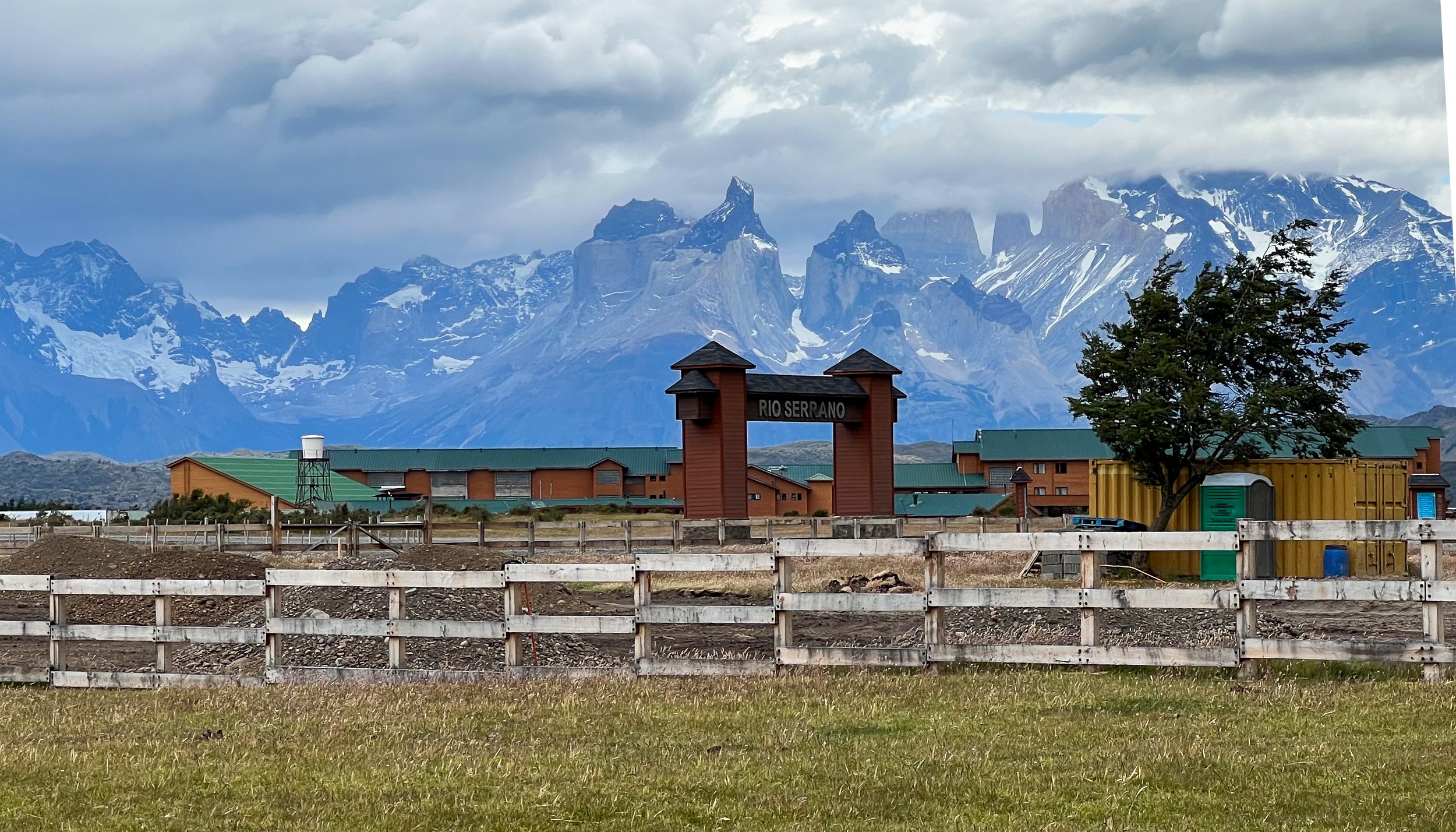
We stayed at the beautiful Rio Serrano hotel and spa, located right outside of the park.
Every room in the Rio Serrano hotel has a view of the mountains.
There were many horses roaming around our hotel. This was the view from our hotel room.
Our first hike after we arrived.
On New Years eve, we explored the trails near the hotel which followed the Rio Serrano river into the forest.
January 1st was our wedding day. We were married along the Rio Serrano river and took a few pictures.
In the afternoon on New Years day we drove to the Grey Glacier trailhead where we hiked to Mirador Ferrier.
The start of the trail to Ferrier was sunny and warm.
By the time we arrived at the summit it was cold and windy.
Rich on the summit. The weather in Patagonia changes by the minute and is almost impossible to forecast.
On the way down from Mirador Ferrier you can see Grey lake with the immense Paine Grande behind it. Paine Grande is the tallest peak in the park and has only been climbed 4 times.
On January 2nd we hiked Mirador Lago Toro. The weather started out beautiful but then turned rainy and we had to cut our hike short.
The iconic view of the Paine Massif.
Rich running down to beat the rain. In the distance is the beautiful River Paine.
On January 3rd we took a catamaran ride to Grey Glacier. Getting to the boat required about a mile walk (which we didn’t know about so we had to run across this glacial wash in order to make it).
It had snowed the night before above 2000 feet and the mountains were spectacular that morning.
Staci looking out towards Grey glacier.
Grey Glacier feeds into Lago Grey.
Lago Grey had lots of mini icebergs.
A closeup of Grey Glacier.
After Grey glacier we had to drive 90 minutes to Puerto Natales to get more gasoline for the rental car. This was the nearest gas station to Torres del Paine. I see signs saying “open range” all over the west, but have never experienced this many cows on a relatively major road.
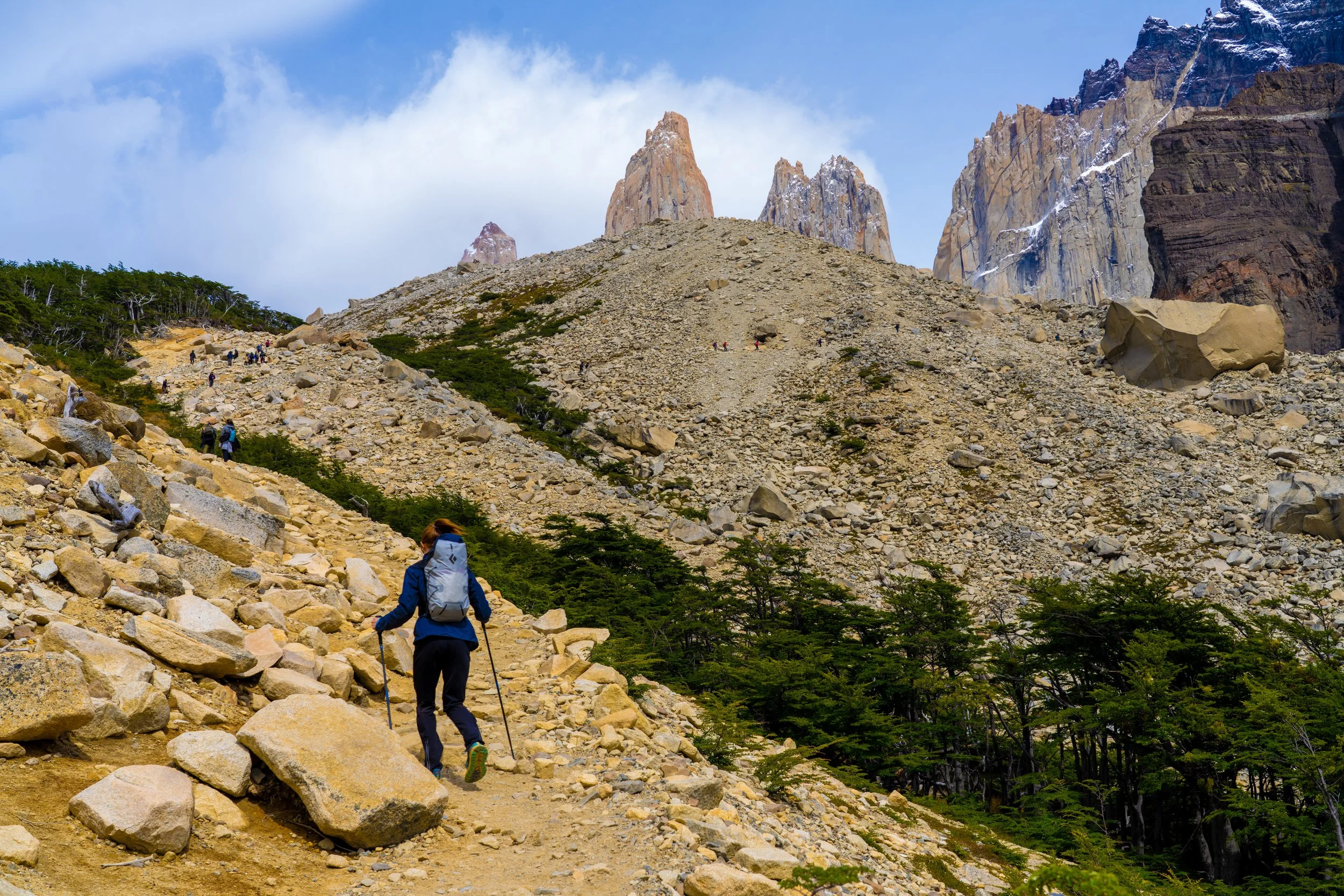
On January 4th we drove to Las Torres on the other side of the park to hike up to Lago Torres, the lake at the base of the Towers. Staci at the start of the hike.
The entire hike had amazing views.
Getting close to the top - you can see the towers starting to appear.
Arriving at Lago Torres. This is a bucket-list hike for many people and is one of the most spectacular mountain lakes anywhere.
A closeup of the towers. These are thousands of feet of sheer granite and are not climbed very often.
Torres del Paine requires you to camp in Refugios (maintained camping areas). This is Refugio Chileno, the most popular camping site in the park and is only 3 KM from the base of the towers.
Guanacos are the most commonly seen animal in the park. We saw one.
On January 5th we hiked a trail near our hotel that started through a grassy pasture and then led into a forest.
The Patagonian Forests are thick with Guindo and Lenga trees, scrubs and bogs and bushes that are brutally difficult to walk through.
We were fortunate to see quite a few Magellanic Woodpeckers in the forests. This one is a male.
Rich trying not to trip over roots.
Staci capturing “Old Man’s Beard” lichen that grows on trees everywhere in Patagonia.
On January 6th we took a catamaran across Lago Pehoé to access the W trail.
The W trail follows the lake and then heads up to the Valley del Frances, the rightmost valley in the picture.
Lago Pehoé is one of the most beautiful lakes I’ve ever seen. Its beautiful turquoise color is caused by glacial rock dust suspended in the water.
Lago Skottsberg from the W trail.
Crossing the Rio del Francés.
A view of the Italian camp at the base of the Valle del Francés.
Higher up in the Valle del Francés - the most beautiful part of the W trail.
Patagonian Cushion plants are common. These are low and dense and seem to be much like cacti.
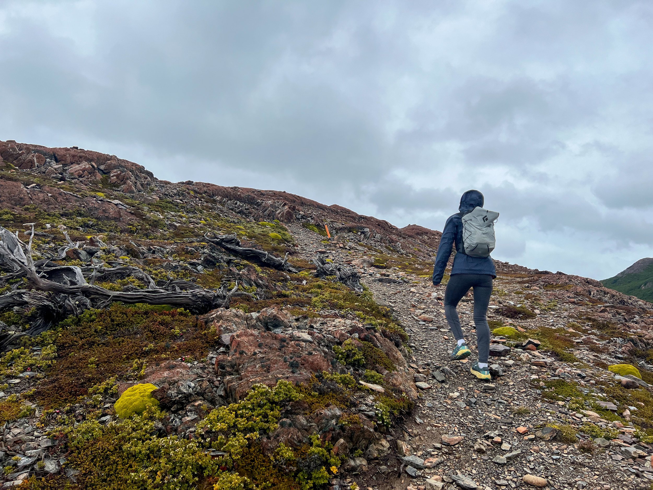
On January 8th we hiked the Laguna Verde loop. This trail ascended about 1400 feet initially and then continued through forests, ridges and grasslands for about 10 miles.
Staci running through deep grass on the Laguna Verde loop.
On January 9th we left Torres del Paine to drive to Puerto Natales. We went for one last run near Mirador Grey before we left.
Posing above a windy Lago Grey with the amazing Pain Massif in the distance.
This is a map of Torres del Paine Park with the trails we did highlighted in different colors.
Puerto Natales is the gateway town for Chilean Patagonia. Although it was founded as a port in 1911, it has become a tourist hub for tours and tracking within Torres del Paine.
Puerto Natales has more hostels than any city we have ever visited.
Sunrise panorama in Patagonia. My favorite photo of the trip.


